Andaman and Nicobar Islands- Overview
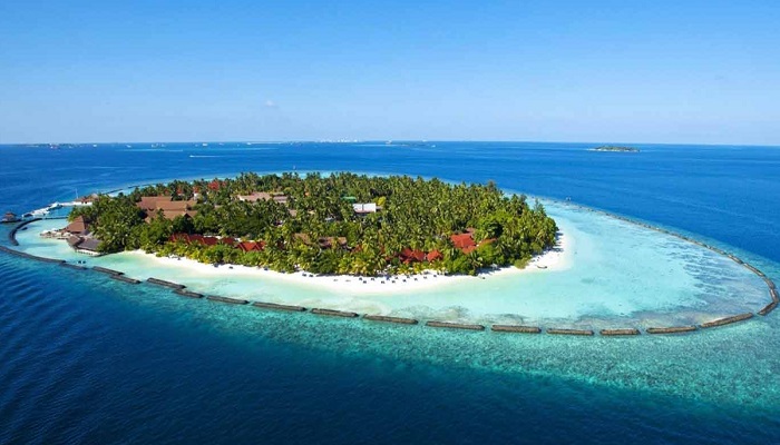
The Andaman and Nicobar Islands, located in the Bay of Bengal (1400 km east of the Indian mainland) are one of the most remote spots on the planet. The original inhabitants are various aboriginal tribes who exist more-or-less out of the mainstream. Lying south of the Andaman Islands, Nicobar Islands are the smaller part of the Andaman and Nicobar Union Territory. These small islets are divided into three groups: northern group, central group and southern group. Today this union territory stretches over a length of more than 700 km from north to south and of nearly 600 islands 36 are inhabited islands.
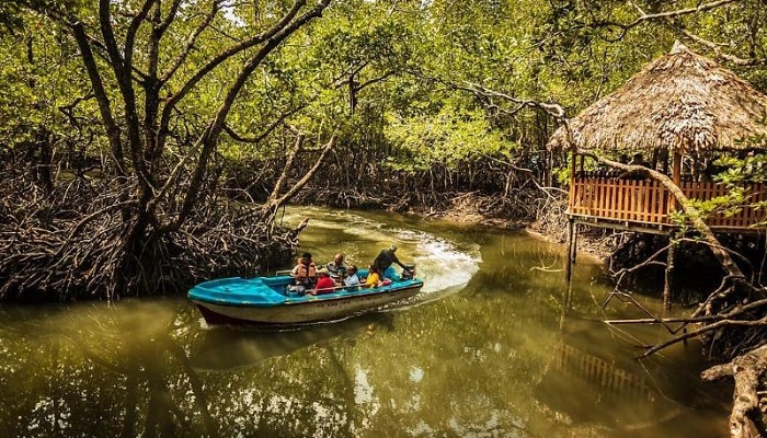
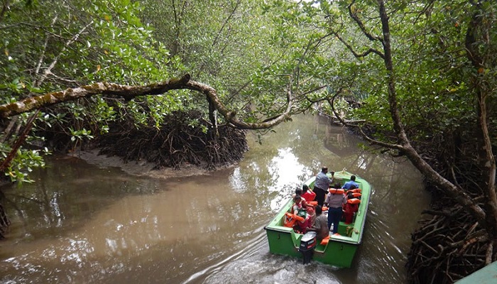
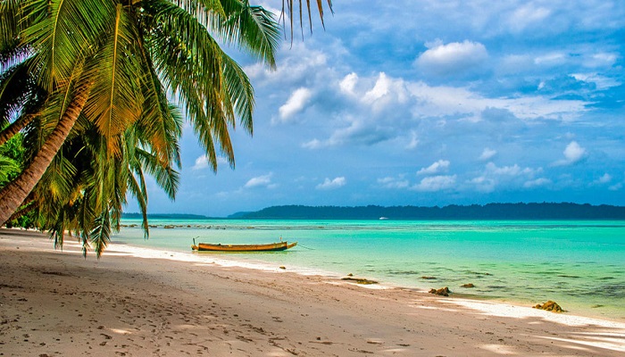
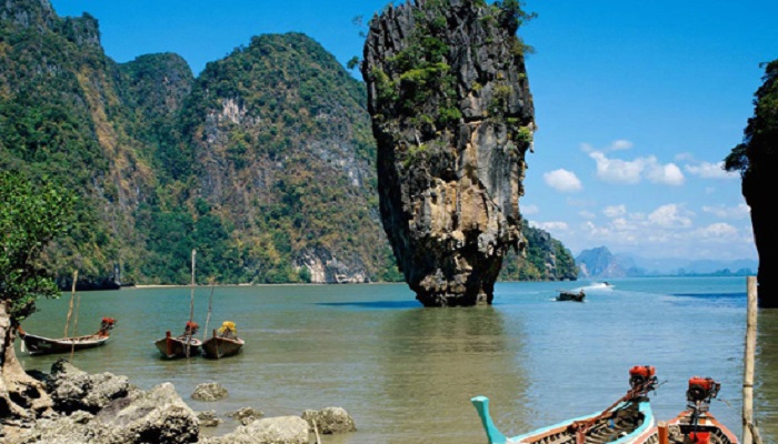
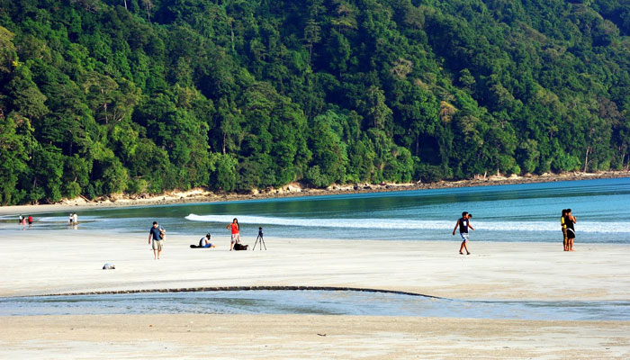
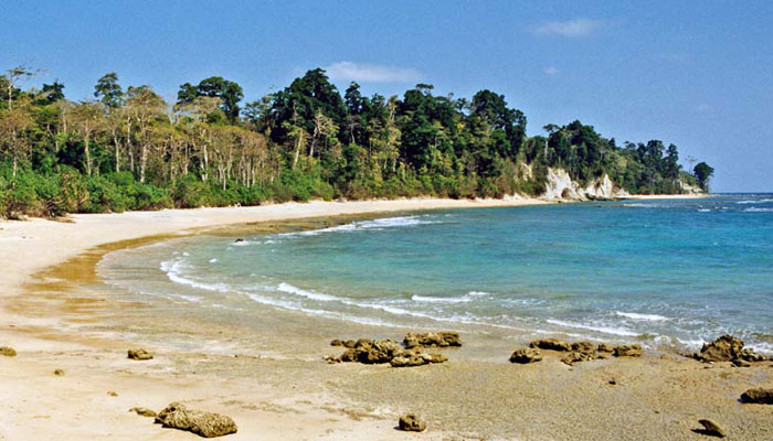
These undulating islands are covered with dense forests and endless varieties of exotic flora and fauna. The mind-blowing sandy beaches fringed with coconut palms offer excellent scope for adventure water sports. The rare flora and fauna, the underwater marine-life and corals and creeks with dense mangrove forests offer a fascinating view of the rare gifts of nature.
Port Blair, the only sizable town on the islands, serves as the administrative capital. Non-Indians need a Restricted Area Permit to visit the islands at the Port Blair airport.
What you should know about Andaman & Niccobar?
Region : South East India
Established : November 1, 1956
Capital : Port Blair
Size : 8,250 sq km
Rivers : Kalpong, Alexandra, Dagmar, Galathea
Forest / Park : Mahatma Gandhi Marine NP, Middle Button Island NP, Saddle Peak NP, Campbell Bay NP. Galathea Bay NP
Neighbour States : Andaman Sea & Bay of Bengal.
State Animal : Dugong
State Bird : Andaman Wood Pigeon
State Tree : Andaman Padauk
State Flower : Pyinma flower
Some Interesting Facts about Andaman & Niccobar
On 26 December 2004, the coasts of the Andaman and Nicobar Islands were devastated by a 10 m (33 ft) massive tsunami following the undersea earthquake off Indian Ocean. More than 2,000 people lost their lives, more than 4,000 children were orphaned or suffered the loss of one parent, and a minimum of 40,000 people were rendered homeless. More than 46,000 people were injured.The worst affected Nicobar islands were Katchal and Indira Point; the latter subsided 4.25 metres (13.9 feet) and was partially submerged in the ocean. The lighthouse at Indira Point was damaged but has been repaired since then. The territory lost a large amount of area which is now submerged. The territory which was at Indian states 8,073 km2 (3,117 sq mi) is now at 7,950 km2 (3,070 sq mi).

