Description
Sarahan-Kalpa- Kaza-Sangla-Shimla Itinerary: 10 Days/09 Nights
Day 01: Chandigarh to Sarahan (271km/1920m)
Reach Chandigarh to Sarahan by evening.
Overnight in Sarahan.
Day 02: Sarahan to Kalpa (180 km/2960 m)
Leave Sarahan for Kalpa, via Rampur, Jeori, Tapri, Karcham, Powari, and Reckong Peo.
Overnight in Kalpa.
Day 03: Kalpa to Tabo (149 km/3280m)
After breakfast checkout from Kalpa. Reach Tabo by afternoon.
Overnight in Tabo
Day 04: Tabo to Kaza (45km/ 3650m)
Enroute visit Dhankar, Key & Kaza monastery and Kibber
Overnight in Kaza.
Day 05: Excursion to Chndratal
Drive up to Losar and Kunzum Pass/Chndratal (if roads are open) – back to Kaza.
Overnight in Kaza.
Day 06: Kaza to Sangla (245km)
Leave Kaza For Sangla. Visit 1000 years old Tabo Monastery on the way.
Overnight in Sangla.
Day 07: Sightseeing in Sangla
After breakfast visit Chitkul, Rakcham, Mastrang village
Overnight in Sangla.
Day 08: Sangla to Shimla (240 km)
Check out early for Shimla.
Overnight in Simla.
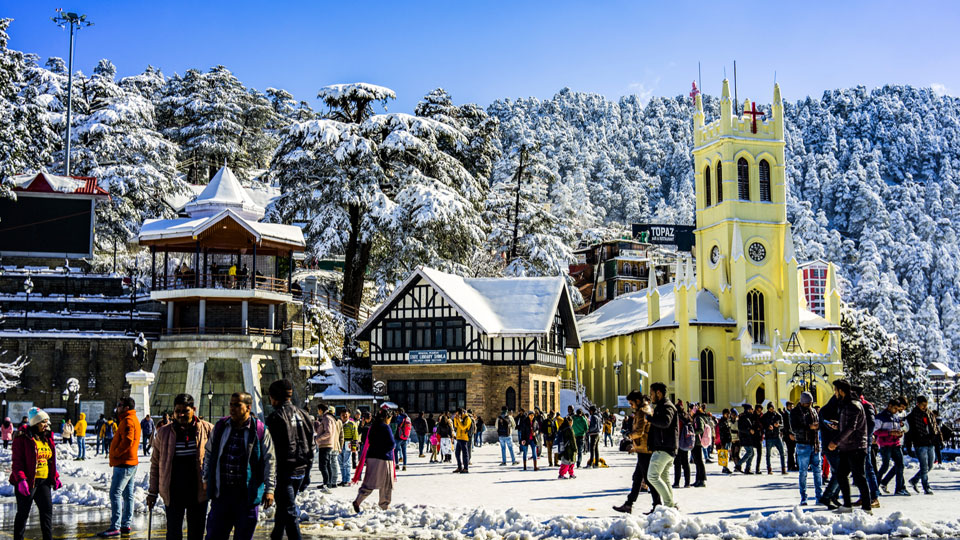
Day 09: Shimla sightseeing
Overnight in Shimla.
Day 10: Drop to Destination
Checkout after breakfast for onward destinations.
Some amazing things you might not know about Kinnaur
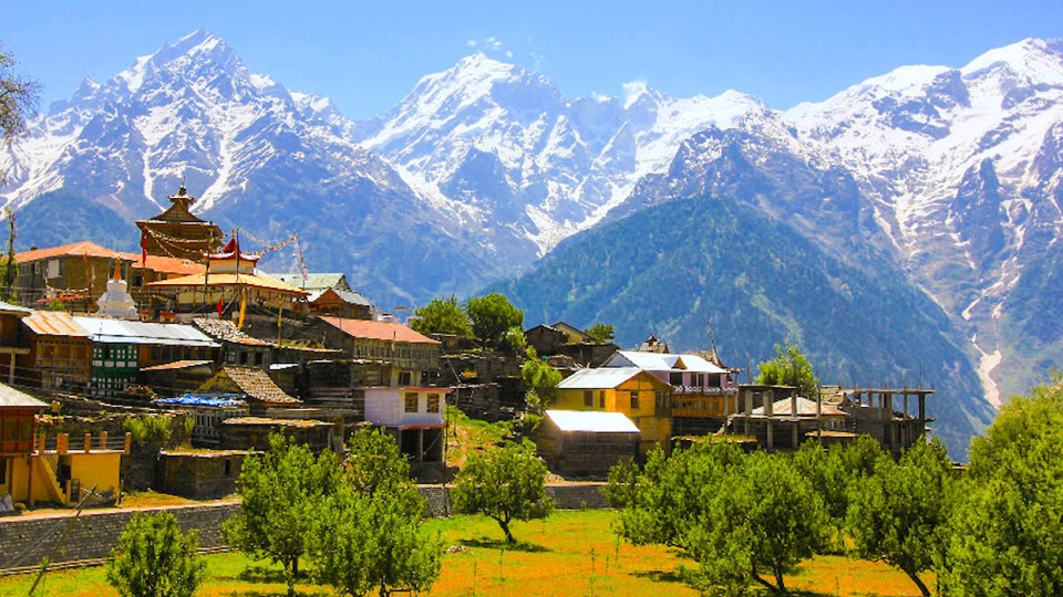
Kinnaur has a spectacular terrain of lush green valley, orchards, vineyards, snow-clad peaks, and cold desert mountains. It is a border district of Himachal Pradesh. Kinnaur is also rich in flora & fauna. The culture and language is different from other parts of the state. Kinnaur, the tribal district of Himachal Pradesh, lies 250 km away from Shimla, the capital of Himachal Pradesh and is situated on the NH–22 (Hindustan Tibet Road). The landscape of the area varies from lush green orchards of the scenic Sangla Valley to the stark magnificence of the Hangrang Valley. The massive snow clad ranges that provide a regal dignity to the scene are dominated by the peak of Kinner Kailash. Kalpa is one of the biggest and beautiful villages of Kinnaur.
The Lahaul and Spiti district in Himachal Pradesh consists of the two formerly separate districts of Lahaul and Spiti. The present administrative centre is Keylong in Lahaul. Kunzum Pass (14,931 ft)) is the entrance pass to the Spiti Valley from Lahaul. It is 21 km (13 mi) from Chandra Tal. This district is connected to Manali through the Rohtang Pass. To the south, Spiti ends 24 km (15 mi) from Tabo, at the Sumdo where the road enters Kinnaur and joins with National Highway No. 5.
The two valleys are quite different in character. Spiti is more barren and difficult to cross, with an average elevation of the valley floor of 4,270 m (14,010 ft). It is enclosed between lofty ranges, with the Spiti River rushing out of a gorge in the southeast to meet the Sutlej River. It is a typical mountain desert area with an average annual rainfall of only 170 mm.

